Area 2
Churches

Cemeteries
Berean Baptist Church Cemetery
- Located beside the church & across the street from the church.
- Berean Church Cemetery on Findagrave
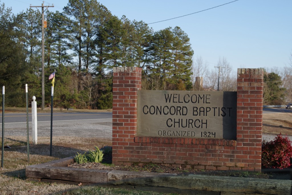
Concord Baptist Church Cemetery
- Concord Church Cemetery on Findagrave
- Cemetery and Tombstone Records of Mecklenburg County, Virginia Volume I, by Munsey A. Moore, c. 1982. Page 157
Newton Dalton Family Cemetery
- Full cemetery photographed by Julie Cabitto 27 May 2021
Post Offices
This area is presently served by the Chase City post office. Other post offices in this area’s history:
- Barry’s Bridge
- Cisco
- Milgrove
- Reddirt
- Roxton
- Scott’s Crossroads
Schools
I am not yet aware of any schools in this area past or present. It is possible there was a school or two run by local churches.
Stores & Other Places
News Clippings & History
Related
link
Some Surnames
Baskerville
Bragg
Burwell
Davis
Goode
Hayes
King
Jones
Thomas
Tisdale
Tucker
Tunnie
Watson
White
Winn
29 Areas Map: Defined Boundary of Area 2

The north boundary of area 2 is the Meherrin River. Start where Route 49 crosses the Meherrin River. Follow the Meherrin River east to where Route 662 Wightman Road, is closest to the river. Jump about 1,000 feet between the Meherrin River and 662. Follow Route 662 west, then south, until it intersects with Route 47. From this intersection head west on Route 47 just until Route 600 Draper Road. Go southwest on Route 600 until it intersects with Route 680 Sweetwater Lane. Follow route 680 in a sort of westerly direction until it intersects with Route 671 Country Club Drive. Head northwest on Route 671 until it re-intersects with Route 47 at the Mecklenburg Country Club. Head west to the Chase City town boundaries, about where Butcher’s Creek crosses Route 4. Follow along the town boundaries north west, to the Intersection of Route 47 and Route 49. Follow Route 49 northeast until it intersects with the Meherrin River. Everything on the east side of Route 49, north of Chase City, is in Area 2.