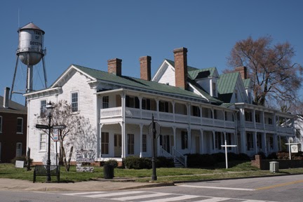
Area 19: Boydton
Area 19 includes the town of Boydton, and some land north of Highway 58.
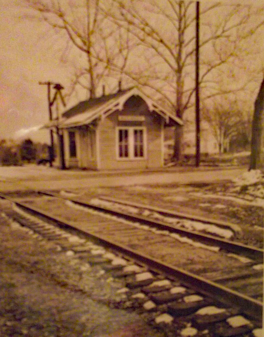
1956 Train Depot Picture from Marcus Woodford
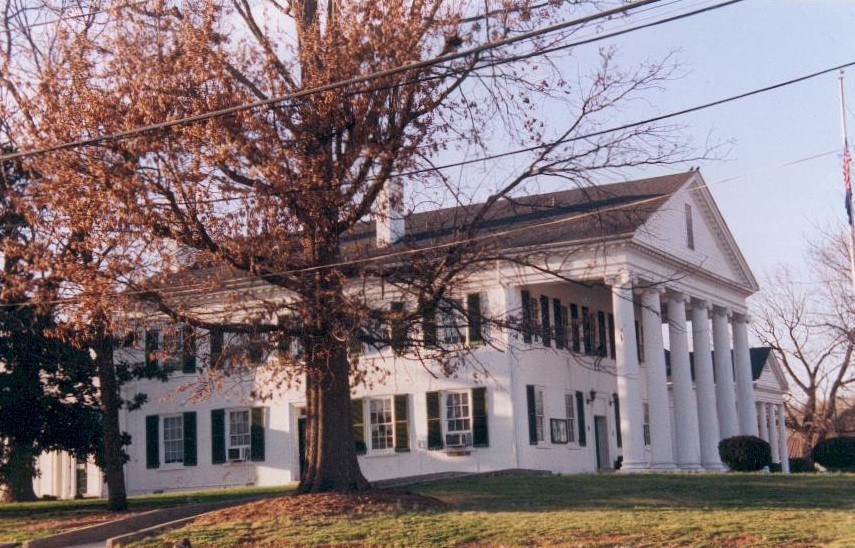
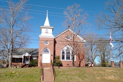
Churches
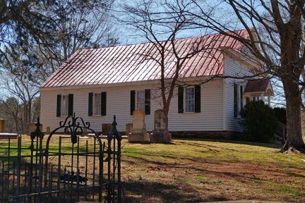

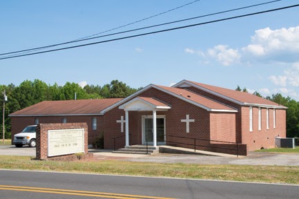
Boydton Baptist, 2023
Jerusalem Temple United Holy Church, 2022
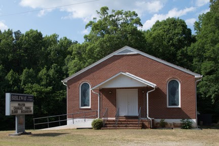
Bibleway Church of Christ, 2022
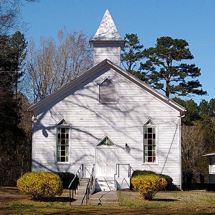
St. Paul’s Church, 2023
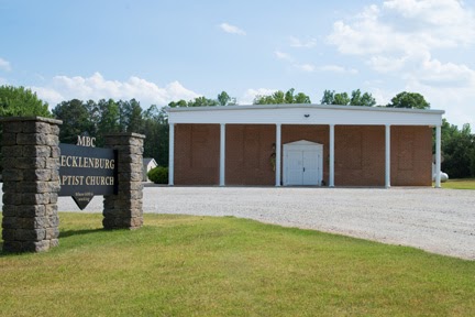
Mecklenburg Baptist, 2022
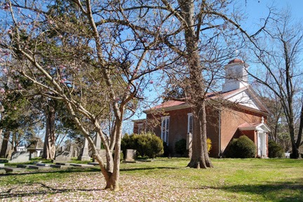
Cemeteries
Moseley Family Cemetery (African American)
Boydton Presbyterian Cemetery
St. Paul’s Church Cemetery
Post Offices
- Boydton
- Beechnut
- Crayon
- Kimono
- Randolph Macon
- Tanny
- Shopville
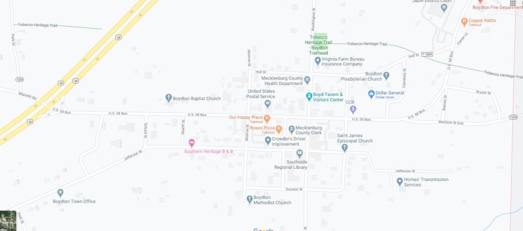
Boydton Depot
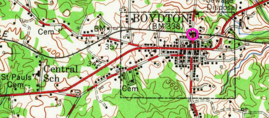
Maps above: 1955, below 2020. Tobacco Heritage Trail is where the old tracks used to be. The old depot location is circled in pink above. The depot was torn down. It used to be located on the south side of the tracks on Washington Street.
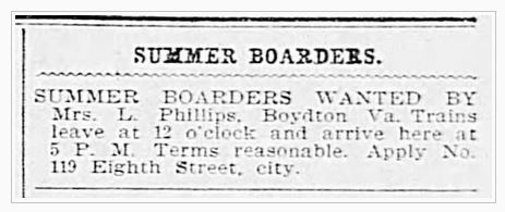
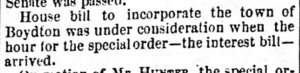
Richmond Times-Dispatch, Richmond, Virginia, Sun 15 Jun 1902, page 8
1902 ad. It took 5 hours to travel from Boydton to Richmond.
Schools
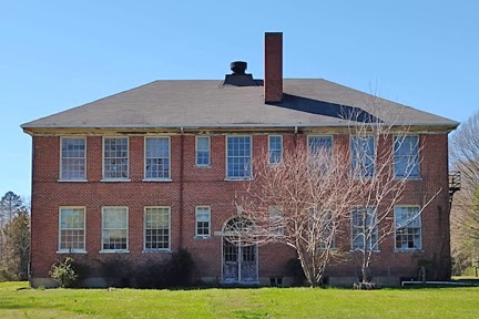
Old Boydton High School, 2023

Randolph Macon ruins, 2023


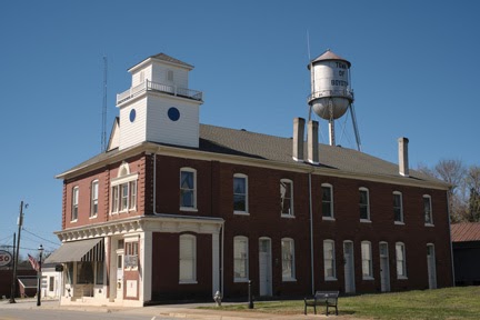
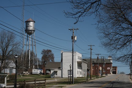
Stores & Other Places
poor house
orphanage
jail
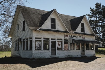
JR Kindley Grocery, 2023
Some surnames
Atkins
Baptist
Boyd
Brame
Carter
Hamilton
Haskins
Homes
Jeffress
Jones
Lewis
Webb
Related
News Clippings & History
Clipped from Richmond Enquirer (Richmond, Virginia) 05 Apr 1836, Tue • Page 4

A train bandit. Women thinking romantic thoughts about the bandit, or plans to rescue him. A detective on the trail, then the court room scene. Sounds like a movie plot right? But this courtroom scene happened in Boydton, about a train robbery in LaCrosse more than 100 years ago.
The Sheriff of Mecklenburg was Sheriff Beales. The detective was from the Baldwin Detective Agency. The bandit, was Percy Martin.
29 Areas Map: Defined Boundary of Area 19
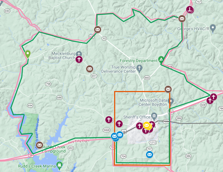
Start at Boydton town boundaries. Go east along Highway 58, to Ridge Road, (Route 608). Follow Ridge Road northwest to the end, where it intersects with Old Cox Road, (Route 660). Follow Old Cox Road northeast, until it intersects with Mt. Pleasant Road, (Route 677). Follow Mt. Pleasant Road westerly, until it intersects with Route 92. Follow Route 92 south, until it intersects with Wilkerson Road, (Route 677). At the fork in the road of Wilkenson Road and Daniel’s Road, skip west, to a fork in Butcher’s Creek. Follow Butcher’s Creek in a southernly direction, until it intersects with Highway 58. Follow 58 easterly back to the town boundary of Boydton.